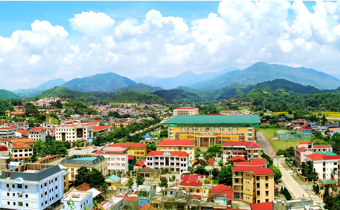
Bắc Kạn
Sightseeing
0/5
Overview
Introduction to Bac Kan
Geography
If you are wondering which region Bac Kan is in, the answer is the Northeast region. This locality is about 162km northeast of Hanoi capital, adjacent to 4 other provinces including Cao Bang, Lang Son, Thai Nguyen and Tuyen Quang. Bac Kan is a land with a long history associated with the Van Lang state. Over thousands of years, during the Nguyen Dynasty, this locality was located in Thai Nguyen province. In 1900, the French colonial government in Indochina separated Bac Kan province from the old Thai Nguyen province. In 1965, Bac Kan was merged with Thai Nguyen to form a new province called Bac Thai province. After unifying the country, in 1996 Bac Kan province was re-established and has remained the same until today.
Climate
Located in the Northeast region, the terrain is quite high with mountain arcs extending to the North, so this locality has a tropical monsoon climate and cold winters. In fact, Bac Kan's climate is divided into rainy season (May - October) and dry season (November - April next year) with an average temperature of 20 - 22 degrees Celsius. The summer months have quite high temperatures. but not as hot as the plains. On the contrary, at the end of the year, this land is dominated by the Northeast monsoon, causing the temperature to drop sharply, the cold cutting the skin and flesh.
Tourism
Bac Kan is a province rich in tourism potential because of the abundance of resources, minerals and culture imbued with ethnic identity in the northeastern mountainous region of Vietnam.
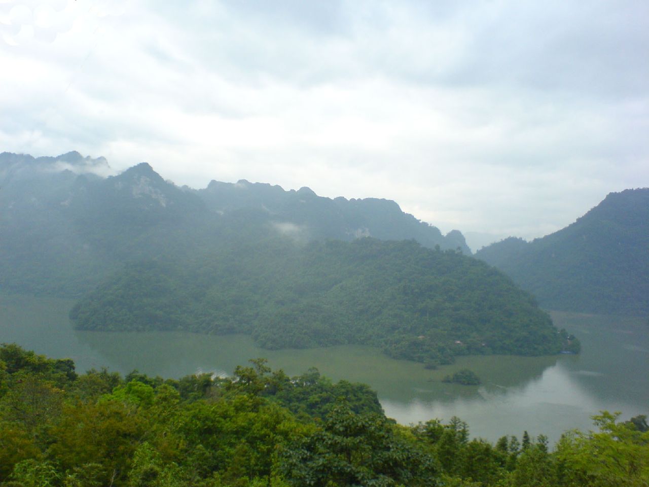
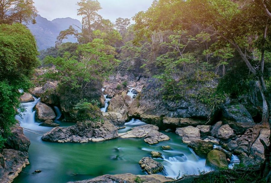
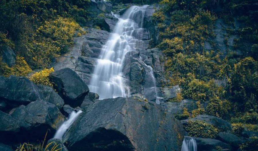
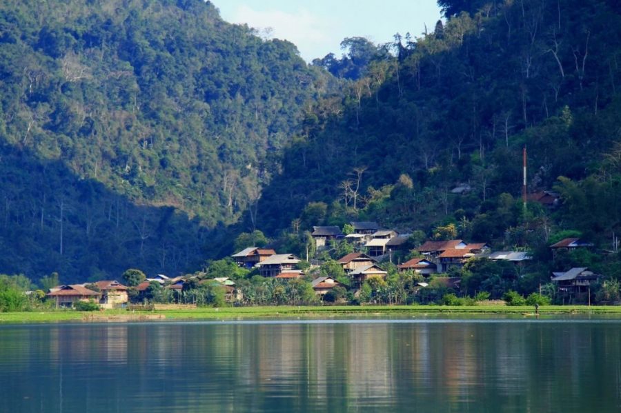
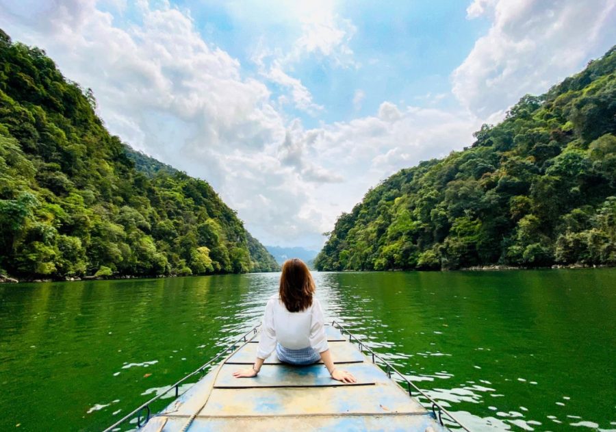
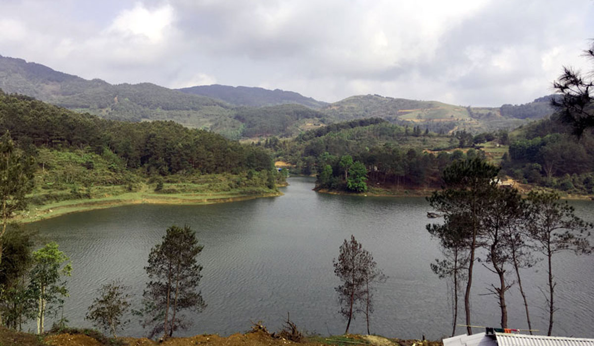
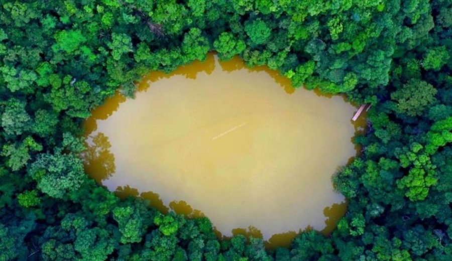
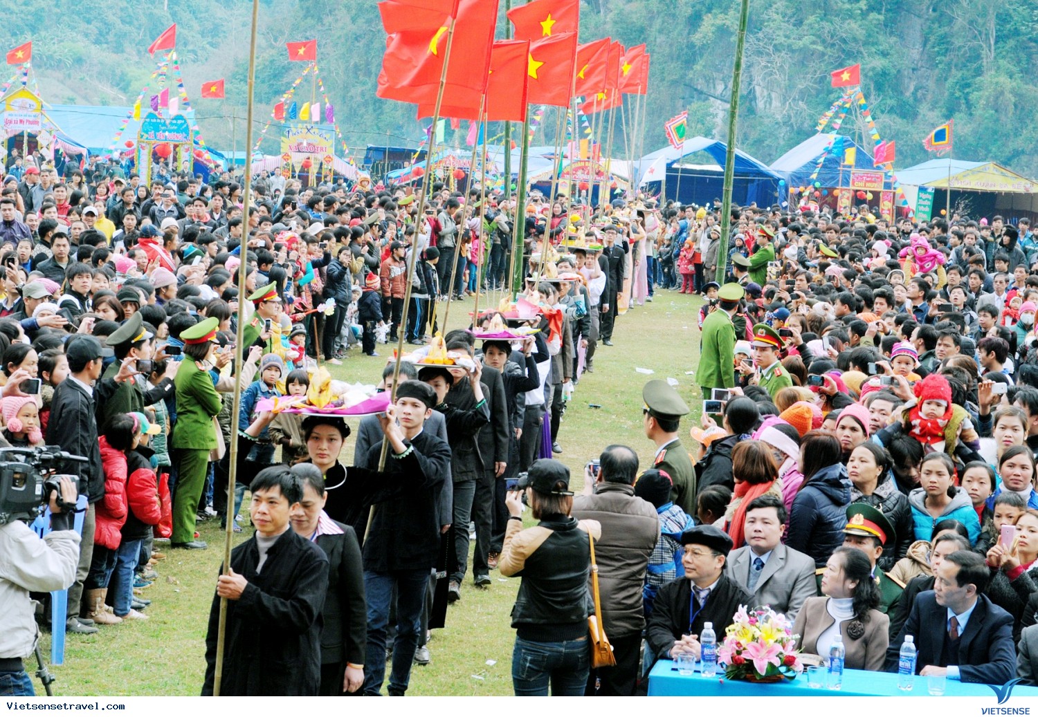
Ba Be Lake is a natural landscape recognized as a National Historical and Cultural Monument in 1996. In 2011, Ba Be was recognized by UNESCO as a Ramsar site - This is a wetland conservation area of world importance. and is one of the 20 most beautiful freshwater lakes in the world. Ba Be Spring Festival is held in the first lunar month every year. ATK Cho Don revolutionary base: One of President Ho Chi Minh's bases and high-ranking officials of the Communist Party of Vietnam in the resistance war against French colonialism. Po Ket historical site: in Van Hoc commune, Na Ri district is a revolutionary base where Phung Chi Kien and many revolutionary activists of the Party stopped, from La Hien, Van Hoc to Ngan Son in the 1931 period. until 1941. Doc Tiem secret tunnel and U-shaped hall: in Phung Chi Kien ward, Bac Kan city. Thanks to this secret bunker, the late General Secretary Truong Chinh escaped danger in 1947 on his way to work in Bac Kan. Thach Long Pagoda: located inside a limestone cave in Cao Ky commune, Cho Moi district. The cave has a structure of two interconnected floors called the Heaven and Sound floors. During the resistance war against the French colonialists, our army used this place as a weapons factory. Room Waterfall is located in Quang Thuan commune, Bach Thong district. Consists of a complex of romantic rocky beaches, rivers and mountains. The waterfall is where the Cau River is blocked by a rocky beach that runs about a kilometer long. Very suitable for entertainment, backpacking, climbing, camping and experiencing... Na Tu historical relic site, Cam Giang commune, Bach Thong district where Ho Chi Minh donated 4 youth volunteer forces verse in 1951:"Nothing is difficult/I'm just afraid that my heart won't persevere/Dig mountains and fill the sea/Determination can make it happen." In addition, famous landscapes must be mentioned such as: Puong cave, Hua Ma cave, Nang Tien cave, Phya Khao, Na Dang waterfall, Na Phoong cave, Ba Cua cave, Son Duong cave, Kim Hy nature reserve.
Explore the place
The City Maps
Reviews
0/5
Not Rated
Based on
0 review
Excellent
0
Very Good
0
Average
0
Poor
0
Terrible
0
No Review
