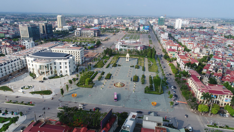
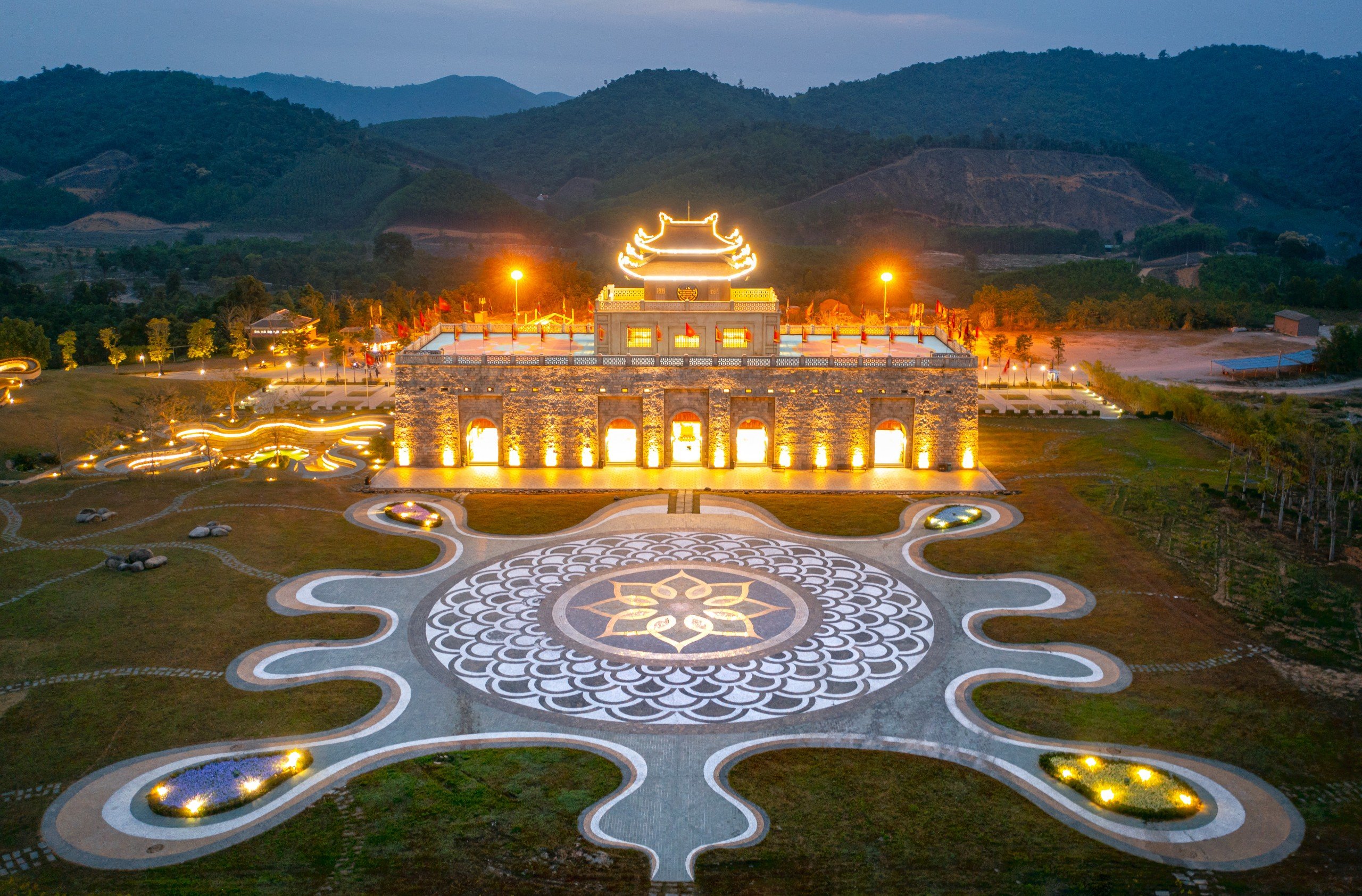
Bắc Giang
Sightseeing
0/5
Overview
BAC GIANG PROVINCE, NORTHERN VIETNAM
Bac Giang Province, Northern Vietnam
Capital: Bac Giang
Area: 3,895.59 km2
Population: 1,803,950 (2019 Census)
Density: 463/km2
Demographics: Vietnamese, Nung, San Chay, San Diu, Hoa, Tay
Calling code: 204
Bac Giang is a province of Vietnam. It is in the northeastern part of the country, 50 kilometres (31 mi) to the east of Hanoi. The province covers an area of 3827.45 square kilometres and, as of 2008, it had a population of 1,628,400.
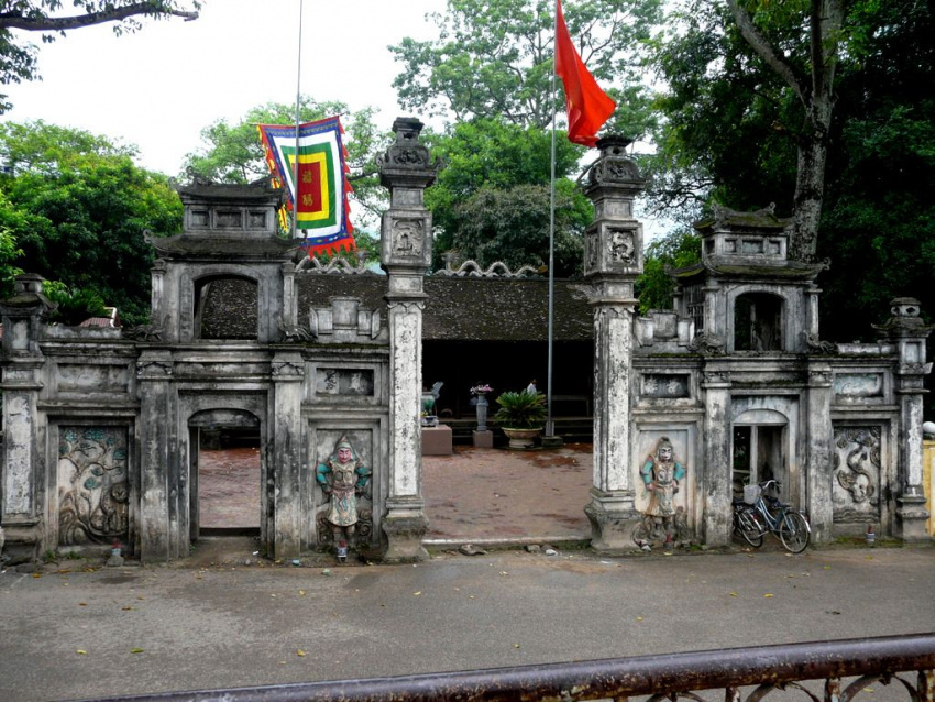
Bac Giang’s history is traced to the Hung Kings who established the Van Lang nation, which was then followed in succession by the rule of the Lê and Nguyên dynasties. It was the prefecture of Ða Phúc during the time of Emperor Tu Ðuc, Vietnam’s last independent monarch.
The province lies in the Red River Delta and borders with Quang Ninh to the east, Lang Son to the north, Thái Nguyên and the urban district of Sóc Son in the capital Hanoi to the west, and Bac Ninh and Hai Duong to the south.
History
Ancient time
During the time of the Hung Kings, who started the nation of Van Lang, Bac Giang was in the division of Võ Ninh. During the Lê Dynasty, the province was the prefecture of Bac Hà. Following the ascent of the Nguyên Dynasty, it became the prefecture of Thiên Phúc in 1822, before becoming the prefecture of Ða Phúc during the time of Emperor Tu Ðuc, Vietnam’s last independent monarch. From 5 November 1889 to 9 September 1891, there existed the province of Luc Nam.
Present day
The modern Bac Giang Province was from 10 October 1895, when it broke out of Bac Ninh Province. It initially comprised the prefectures of Lang Giang and Ða Phúc and the districts of Kim Anh, Yên Dung, Phuong Nhon, Viet Yên, Hiep Hòa, Yên The and some small territories south of Luc Nam River. The province’s capital was Phu Lang Thuong, which is now the city of Bac Giang. In 1896, the prefecture of Ða Phúc and the Kim Anh District was returned to Bac Ninh Province. In 1950, Bac Giang joined the Confederation of Northern Vietnam (Liên khu Viet Bac) by the communist Vietminh and comprised seven districts: Hiep Hoà, Luc Ngan, Yên The, Lang Giang, Viet Yên, Yên Dung, Huu Lung.
On 22 February 1955, the Son Ðong District (Quang Yên Province) was incorporated into Bac Giang Province. Then on 1 July 1956, upon the formation of the Autonomous Region of Northern Vietnam (Khu tu tri Viet Bac), the Huu Lung District was transferred to Lang Son Province. Later, on 21 January 1957, the districts of Son Ðong and Luc Ngan were divided into the three districts of Son Ðong, Luc Ngan, and Luc Nam. Next, on 27 October 1962, Bac Giang merged with Bac Ninh into the new Hà Bac Province, until it was re-partitioned on 1 January 1997 into its previous components.
Geography
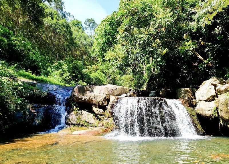
Bac Giang lies in the Red River Delta. It borders Quang Ninh to the east, Lang Son to the north, Thái Nguyên and the urban district of Sóc Son in the capital Hanoi to the west, and Bac Ninh and Hai Duong to the south. It comprises three landforms namely, the lowland or delta land, the midland, and the mountainous region. While the midland areas are in the districts of Hiep Hoà and Viet Yên, and the city of Bac Giang, the mountainous districts are the Son Ðong, Luc Ngan, Yên The, Tan Yên, Yên Dung, and Lang Giang; the seven mountainous districts account for 72% of the area of Bac Giang province.
Demographics
According to the General Statistics Office of the Government of Vietnam, the population of Bac Giang province as of 2008 was 1,628,400 with a density of 425 persons per km2 over a total land area of 3,827.45 square kilometres (1,477.79 sq mi) of the province. The male population during this period was 790,300 with females accounting for 838,100. The rural population was 1,473,000 against an urban population of 153,400.
According to the census of 1 April 2009, the population was 1,555,720 with a density of 407 people/km², 1.7 times the national average. There are 26 ethnic groups in the province. Between these ethnic Vietnamese comprised 88.1%, followed by Nùng people with 4.5%, Tày with 2.6%; Sán Chay people and Sán Dìu people, both with 1.6%, Hoà 1.2% and Dao people 0.5%.
Bac Giang Province Administration
Bac Giang is subdivided into 10 district-level sub-divisions:
9 districts
Hiep Hoa
Lang Giang
Luc Nam
Luc Ngan
Son Dong
Tan Yen
Viet Yen
Yen Dung
Yen The
Explore the place
The City Maps
Reviews
0/5
Not Rated
Based on
0 review
Excellent
0
Very Good
0
Average
0
Poor
0
Terrible
0
No Review
