Bắc Ninh
Sightseeing
0/5
Overview
BAC NINH PROVINCE
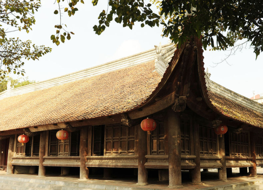
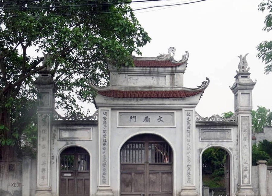
Bac Ninh is a province in Vietnam. This is the province with the smallest area in the country, located in the Hanoi Capital Region, the Northern key economic region, and in the Red River Delta. Bac Ninh is the center of the ancient Kinh Bac land, with 44 ancient Quan Ho villages, the cradle of Quan Ho folk songs, recognized as a representative intangible cultural heritage of humanity after Hue royal court music, not Central Highlands Gong culture space and at the same time as Ca tru. The province is also located in the Northern Key Economic Region, Vietnam.
In 2022, Bac Ninh will be the 22nd largest administrative unit in Vietnam in terms of population, with 2 cities, 2 towns and 4 districts with a total of 1,488,250 people, ranked eighth in terms of Gross Regional Product (GRDP). ), ranked third in terms of GRDP per capita.[4], GRDP reached 248,376 billion VND (corresponding to more than 10.8 billion USD), GRDP per capita reached 7,250 USD (corresponding to 167 million VND), GRDP growth rate in 2022 reaches 7.39%.
Geography
Bac Ninh is a province located in the Red River Delta, in the Northern Delta region. The geographical location is within the range from 20o 58' to 21o 16' North latitude and 105o 54' to 106o 19' East longitude. The North borders Bac Giang province; The East and Southeast border with Hai Duong province; The South borders Hung Yen province; The West borders Hanoi city.
Climate
- Temperature - humidity:
Bac Ninh is located in the tropical monsoon climate zone with four distinct seasons, cold winters and hot summers. In the past 12 years, the annual average temperature is 24.0oC, the highest average monthly temperature is 29.4oC (July), the lowest average temperature is 17.4oC (January). The temperature difference between the highest month and the lowest month is 12.0oC.
The average relative humidity of Bac Ninh is about 81%, the difference in humidity between months is not large, the lowest average relative humidity from 72% to 75% usually occurs from October to December of the year. .
- Rainfall:
The average annual rainfall in Bac Ninh is about 1500mm but is unevenly distributed throughout the year. The rainy season is mainly from May to October, accounting for 80% of the total yearly rainfall. The dry season from November to April next year accounts for only 20% of the total rainfall in the year. The area with the highest average rainfall is in Tu Son town, Yen Phong district, Tien Du district, and the area with the smallest average rainfall is in Que Vo district.
- Number of hours of sunshine and wind:
In the past 12 years, the total average number of hours of sunshine is 1417 hours, of which the month with the largest average hours of sunshine is July with 168 hours, the month with the least average hours of sunshine is July. January with 64 hours. Every year there are two main monsoon seasons: the Northeast monsoon and the Southeast monsoon. The Northeast monsoon prevails from October of the previous year to March of the following year, the average wind speed in January is about 2.6m/s; The prevailing Southeast monsoon from April to September brings moisture causing showers, the average speed in July is about 2.4m/s.
Tourism
You can visit Bac Ninh at any time of the year, but there are 3 times that are considered the most suitable to explore this land:
From January to March: Spring is also the peak tourist season. Bac Ninh because many festivals take place at this time. This will be an opportunity for you to explore the traditional culture and customs of Bac Ninh people.
From April to May: At the beginning of summer, the weather is very nice and favorable for sightseeing.
From November to December: The end of the year is when the mustard flower fields on the banks of the Duong River bloom brightly yellow throughout the entire area, don't miss the opportunity to come here to check in and take photos.
Traffic
Bac Ninh has many expressways and national highways passing through such as Hanoi - Bac Ninh - Lang Son highway, Hanoi - Bac Ninh - Ha Long highway, Hanoi - Bac Ninh - Thai Nguyen highway, National Highway 1A , National Highway 17, National Highway 18 and National Highway 38. Along with the inter-provincial and inter-district road system, it is convenient to travel to Bac Ninh by road. The nearest civil airport is Noi Bai airport (40km from Bac Ninh city), very convenient for tourists from far away who want to go to Bac Ninh by plane.
Explore the place
The City Maps
Reviews
0/5
Not Rated
Based on
0 review
Excellent
0
Very Good
0
Average
0
Poor
0
Terrible
0
No Review
